Exploring The Spectrum of Frequencies

Navigating the world of wireless communications requires a fundamental understanding of different frequency bands and their distinct characteristics. These frequency bands, ranging from Very Low Frequency (VLF) to Super High Frequency (SHF), play crucial roles in aviation, remote-controlled (RC) airplanes, and First Person View (FPV) drones. This guide will delve into the specifics of these frequency bands, providing insights into their use in the aviation and RC hobbies. Let’s uncover the intricacies of these radio frequencies.

  1. VLF (Very Low Frequency): 3–30 kHz. VLF waves can penetrate sea water and therefore used for submarine communications. However, due to their low frequency, large wavelength, and low data rate, they are not typically used in aviation or for drones/RC aircraft.
  2. LF (Low Frequency): 30–300 kHz. This band is used for navigation systems like LORAN and for time signal stations. It has a long wavelength, which makes it suitable for ground-based radio navigation.
  3. MF (Medium Frequency): 300 kHz–3 MHz. This range includes the AM radio band (535–1605 kHz). In aviation, MF is used for Non-Directional Beacon (NDB) navigation (190–535 kHz). The data transfer rates are still low, but higher than VLF and LF.
  4. HF (High Frequency): 3–30 MHz. Used primarily for long-distance communication, by both fixed and mobile stations. The HF band includes the shortwave frequencies used for aviation communication and amateur radio. It’s good for long-distance communication due to the ability to bounce off the ionosphere, but it can be subject to interference from solar activity.
  5. VHF (Very High Frequency): 30–300 MHz. This band is widely used for various types of data and voice communications. In aviation, VHF is used for line-of-sight communication such as aircraft-to-aircraft and aircraft-to-tower communications. The frequency range 108–117.975 MHz is used for navigation, specifically for VOR (VHF Omnidirectional Range) systems.
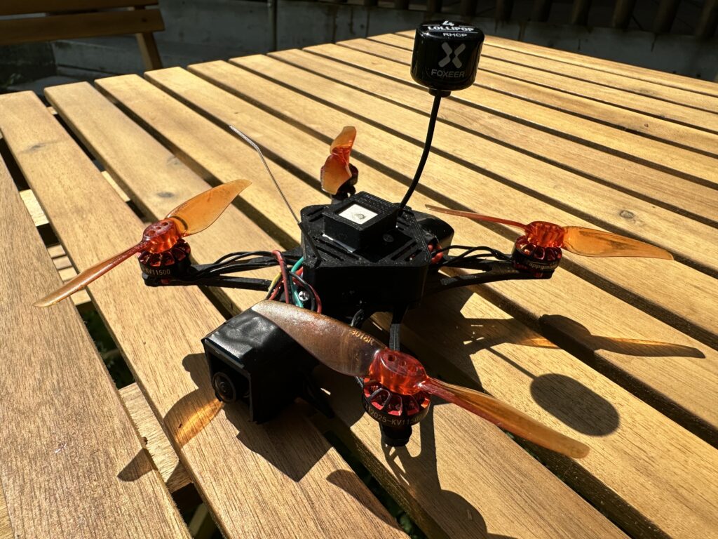
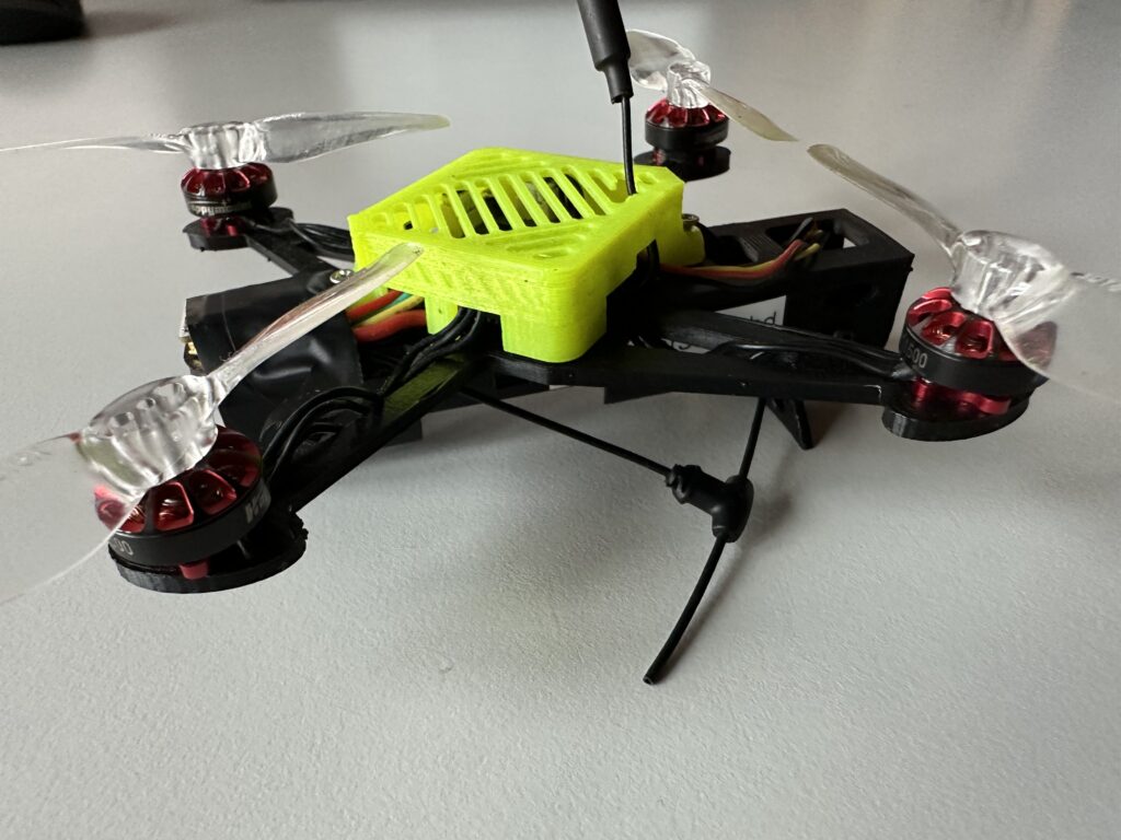
  6. UHF (Ultra High Frequency): 300–3000 MHz. This band is used for mobile communication. For RC airplanes and drones, the 2.4 GHz band is very popular as it provides a good balance of range and bandwidth, allowing for real-time video streaming and control.
  7. SHF (Super High Frequency): 3–30 GHz. This band is often used for point-to-point communication, satellite communication, and wireless LANs. For FPV drones, the frequency band around 5.8 GHz is often used for video transmission, offering a higher bandwidth for better video quality compared to 2.4 GHz, but at the cost of shorter range and less ability to penetrate obstacles.

In aviation, the main bands used are MF, HF, and VHF. For RC aircraft and FPV drones, the main bands used are VHF (specifically around 72 MHz), UHF (specifically around 2.4 GHz), and SHF (specifically around 5.8 GHz). These higher frequencies are used for drones and RC aircraft mainly due to the line-of-sight nature of their operation and the need for higher data rates for real-time control and video transmission.

Source: Radio spectrum – Wikipedia

Nano3LRG (3D Printed)

Introducing the Nano3LRG, a compact 3D printed drone designed for long-range flights. With a weight of around 100g and a 1S Li-ion battery, it offers approximately 20 minutes of flight time. The drone features a customizable 3D-printed frame and powerful brushless motors for stability and precise control. Equipped with GPS, a magnetometer, and a barometer, it is well-suited for long-range flights, providing accurate positioning, orientation, and altitude control. The Nano3LRG is an ideal choice for aerial enthusiasts seeking a lightweight and versatile drone for extended flights.

Recommended parts:

Download the STL files for the drone from Thingiverse

Flight Controller firmware

Parts to be printed:

  • Mainframe -> 7g
  • Canopy -> 2.1g
  • GPS Case -> 0.4

Total frame weight = 9.5g 

Based on my experience, my recommendation would be to use ABS for printing the drone. ABS’s UV resistance and added stability in crash situations make it a suitable choice. However, please keep in mind that PLA is also a viable option due to its hardness and ease of printing. Ultimately, the choice depends on your specific requirements and preferences.

I used Cura 5.2.2 as my slicing software for the printing process.

Important! Union Overlapping Volumes must be set!

Recommended settings for ABS printing:

Recommended settings for PLA printing:

What is Betaflight

Betaflight is an open-source flight control firmware designed specifically for multirotor drones. It provides advanced flight control and configuration capabilities, allowing users to customize and optimize the performance of their drones for various flying styles and applications.

Key features and components of Betaflight include:

  1. Flight control algorithms: Betaflight incorporates sophisticated algorithms to stabilize and control multirotor drones. These algorithms leverage data from onboard sensors, such as gyroscopes, accelerometers, and barometers, to maintain stable flight and enable precise control.
  2. PID tuning: Betaflight offers extensive PID (Proportional, Integral, Derivative) tuning options, allowing users to fine-tune the response of their drones. PID tuning helps optimize flight characteristics, such as stability, responsiveness, and vibration suppression.
  3. Flight modes: Betaflight supports a range of flight modes, including manual control, angle mode (self-leveling), horizon mode (combination of self-leveling and acrobatic control), air mode (allows acrobatic control at low throttle), and more. These modes provide flexibility for different flying styles and skill levels.
  4. OSD (On-Screen Display): Betaflight includes an OSD feature that overlays real-time telemetry data onto the video feed transmitted from the drone’s camera. This data can include battery voltage, flight mode, flight time, RSSI, and other customizable parameters, providing important information to the pilot.
  5. Blackbox logging: Betaflight incorporates a Blackbox logging feature, which records flight data from sensors and control inputs at high rates. Blackbox logs can be analyzed later to diagnose issues, fine-tune settings, or review flight performance.
  6. Configuration and tuning: Betaflight provides a user-friendly configuration interface, often accessed via a graphical user interface (GUI), that allows users to customize various flight parameters. Users can adjust settings related to PID tuning, rates, filters, receiver configuration, motor configuration, and more.
  7. Receiver support: Betaflight supports a wide range of RC receivers and protocols, including PWM, PPM, SBUS, Spektrum, Crossfire, and more. This enables compatibility with various transmitter systems and allows users to choose the receiver that best suits their needs.

Betaflight is constantly evolving, with regular updates and contributions from a large community of developers and users. This active community ensures that the firmware remains up to date, stable, and incorporates new features based on user feedback and emerging technologies. It is widely used in the FPV drone racing and freestyle community, where precise control and high-performance flight characteristics are crucial.

Nano3LR1 (3D Printed)

The Nano3LR1 is a compact 3″ 3D print drone, weighing around 100g. It features a 1S Li-Ion battery that provides a flight time of approximately 20 minutes with a 40% reserve. With its lightweight design and powerful brushless motors, the Nano3LR1 offers stability and precise control. Additionally, its 3D-printed frame allows for customization, making it a versatile choice for aerial enthusiasts.


This drone features an all-in-one (AIO) 5in1 board that combines the receiver, VTX , ESCs  and FC into a single board. The advantage of this setup is that it keeps the drone as lightweight as possible and simplifies the assembly process.

Download the STL files for the drone from Thingiverse

Recommended parts

Here is a diagram of the AIO board.

Flight Controller firmware

Parts to be printed:

  • Mainframe
  • Canopy

Based on my experience, my recommendation would be to use ABS for printing the drone. ABS’s UV resistance and added stability in crash situations make it a suitable choice. However, please keep in mind that PLA is also a viable option due to its hardness and ease of printing. Ultimately, the choice depends on your specific requirements and preferences.

I used Cura 5.2.2 as my slicing software for the printing process.

Important! Union Overlapping Volumes must be set!

Recommended settings for ABS printing:

Recommended settings for PLA printing:

What is Expresslrs (ELRS)

ExpressLRS is an open-source long-range radio control (RC) system designed for remote control applications, primarily in the field of drone and unmanned vehicle control. It focuses on providing reliable and low-latency communication between the RC transmitter and receiver over extended distances.

ExpressLRS is built upon the LoRa (Long Range) technology, which enables long-range communication with robust signal penetration and resistance to interference. It aims to address the limitations of traditional RC control systems by offering increased range, improved signal quality, and enhanced performance.

Key features of ExpressLRS include:

  1. Long-range communication: ExpressLRS utilizes the LoRa modulation scheme to achieve extended range capabilities, allowing reliable control of drones and other vehicles over distances ranging from several hundred meters to several kilometers.
  2. Low-latency and high update rates: ExpressLRS is designed to provide low-latency communication with high update rates, ensuring quick and responsive control inputs. This is particularly beneficial for applications that require precise control and rapid maneuvers.
  3. Flexibility and adaptability: ExpressLRS offers flexibility in terms of hardware compatibility, allowing users to select various transmitters and receivers that support the ExpressLRS protocol. This adaptability enables integration with existing RC systems or the creation of custom setups.
  4. Telemetry and bidirectional communication: ExpressLRS supports bidirectional communication between the transmitter and receiver, enabling telemetry data transmission. This allows users to monitor real-time information such as battery voltage, RSSI (Received Signal Strength Indication), and other relevant telemetry data.
  5. Open-source community: ExpressLRS is an open-source project, meaning the firmware and hardware specifications are freely available to the public. This fosters an active community of developers and users who contribute to the project’s development, offer support, and collaborate on improving its features and functionality.
  6. Configuration and customization: ExpressLRS provides configuration options to adjust settings such as transmission power, frequency, and data rate. This allows users to optimize the system for their specific requirements, taking into account factors like range, signal strength, and interference levels.

ExpressLRS has gained popularity among RC enthusiasts, particularly those involved in long-range FPV (First-Person View) drone flying and other applications that demand reliable and extended control range. The open-source nature of the project encourages innovation and continuous improvement, ensuring the system remains adaptable and responsive to evolving user needs.

What is INAV?

INAV (Interactive Navigation System for Autonomous Vehicles) is an open-source firmware for autonomous vehicles, primarily designed for multirotor drones and fixed-wing aircraft. It focuses on providing advanced navigation and flight control capabilities while offering user-friendly configuration and tuning options.

INAV is based on the Cleanflight flight control system, which itself originated from the Betaflight project. However, INAV has diverged to specifically cater to autonomous navigation features. It is primarily used by hobbyists, researchers, and professionals who require precise control and navigation for their unmanned vehicles.

Key features of INAV include:

  1. Navigation and flight modes: INAV offers a variety of flight modes and navigation capabilities, including manual control, position hold, return-to-home, waypoint navigation, altitude hold, and more. These features enable autonomous missions and precise control during flight.
  2. GPS and sensor integration: INAV integrates GPS and other sensors to provide accurate position estimation, allowing for waypoint navigation, autonomous flight, and automatic return-to-home functionality. It also supports additional sensors like barometers, magnetometers, and accelerometers to enhance stability and performance.
  3. Configuration and tuning: INAV provides a user-friendly configuration interface, often accessed via a graphical user interface (GUI), allowing users to customize various parameters and settings for their specific vehicles and flight requirements. It offers a range of options for PID tuning, sensor calibration, and control settings.
  4. Telemetry and communication: INAV supports telemetry systems that allow real-time communication between the vehicle and the ground station. This enables users to monitor vehicle status, receive telemetry data, and adjust settings remotely.
  5. Mission planning: INAV incorporates mission planning tools that enable users to define complex missions and flight plans. These missions can include waypoints, predefined actions, and specific behaviors for autonomous vehicles to follow.
  6. Baro-based altitude control: INAV utilizes barometric sensors to maintain precise altitude control, enabling accurate altitude hold and smooth vertical movements.

INAV is a highly customizable and adaptable firmware, allowing users to tailor the flight control and navigation behavior according to their specific needs. The open-source nature of INAV fosters an active community of developers and users who contribute to its ongoing development, enhancing its capabilities and adding new features over time.

What is Ardupilot?

Ardupilot is an open-source autopilot software suite that is designed to control unmanned aerial vehicles (UAVs) and other autonomous systems. It provides a comprehensive set of features and capabilities for controlling and navigating vehicles, including airplanes, multirotors (such as quadcopters and hexacopters), helicopters, and ground rovers.

The Ardupilot project was initiated in 2007 by a group of enthusiasts and has since grown into a large and active open-source community. It is built on the Arduino platform and runs on a variety of hardware, including microcontrollers like the Arduino boards and more powerful single-board computers like the Raspberry Pi.

Ardupilot offers a range of features and functionalities, including:

  1. Flight control: Ardupilot provides stabilization and control algorithms for maintaining stable flight and executing various flight modes, such as manual control, autonomous missions, follow-me mode, loiter mode, and more.
  2. Navigation: It incorporates GPS and other sensors to enable accurate position estimation, waypoint navigation, and autonomous flight capabilities.
  3. Telemetry and communication: Ardupilot supports real-time telemetry communication between the vehicle and the ground station, allowing operators to monitor and control the vehicle remotely.
  4. Mission planning: It includes mission planning tools that allow users to define complex missions with waypoints, commands, and behaviors for autonomous vehicle operation.
  5. Sensor integration: Ardupilot integrates various sensors, including accelerometers, gyroscopes, magnetometers, barometers, and more, to provide precise attitude estimation and environmental sensing.
  6. Fail-safe mechanisms: The software incorporates fail-safe mechanisms to handle unexpected situations, such as loss of communication, low battery, or sensor failures, ensuring the safety of the vehicle and its surroundings.
  7. Camera and payload control: Ardupilot supports controlling cameras and other payloads on the vehicle, enabling aerial photography, mapping, surveying, and other applications.

The Ardupilot software is constantly evolving and improving through contributions from a large and active community of developers and users. It is widely used in the hobbyist, academic, and professional UAV communities, offering a flexible and customizable platform for building and operating autonomous vehicles.